OUR SERVICE IN-DETAIL
Measured Survey
What is a measured survey?
A measured survey is when a surveyor comes to your property and takes measurements of the structure. This enables accurate drawings of the existing building to be created. These drawings form the foundation of the whole design process.
This is not a survey of the condition of the property. It is, as the name suggests, just measuring the existing property and surrounding land.

What are the types of surveys you undertake?
We will select the most appropriate type of survey for your project, it could be carried out by us or by a 3rd party survey company depending upon the complexity of your property.
Manual survey
For the majority of projects, we will come to site and get under the skin of your property ourselves, measuring by hand each facet of the existing building using digital Distometers. We will then convert this information to 2D CAD drawings and 3D CAD models as required.
3D laser scan
Our more complex surveys are carried out using a 3D scanner. This technology scans your property both internally and externally, converting it into millions of data points. This data is then converted into 2D CAD drawings or, on occasion, 3D CAD models.
Topographic surveys
A topographical survey is a detailed measured survey of the site/garden, mapping the ground level, tree positions, and other notable features such as manholes, boundaries and tree positions.
We’ll only include a topographical survey if the project involves building or changes to the landscape beyond 5m of the perimeter of the building.
Again, this survey information will be used to create 2D plans of the existing site for use throughout the design process.

What are existing plan drawings?
Once the survey information has been gathered, the data is used to create a set of existing drawings in our CAD software format. These will often include the floor plans, external elevations, sections through the building (a cut through), site plan and roof plan
These are drawings of your home prior to any works. They form the basis of all the design stages, including concept design, planning applications, building regulations, construction drawings, and the Interior Architectural packages.

Who carries out the survey?
Surveys are either carried out by a 3rd party professional survey company or by Moon on smaller projects. They come to your property at an agreed time. The survey can take between two hours to a whole day. It depends on the extent of the works required and the complexity of the property. Ornate period properties tend to take longer.
Why do a measured survey?
- It’s essential that we start the design process with accurate drawings of your property. It leads to a better, more accurate design solution
- It enables the drawings at concept stage to flow through to the detailed construction drawings without large inaccuracies. These can be costly at a later date
- Planning applications can be rejected, or face problems with your local authority, if the existing plan information is incorrect. This is especially true when dealing with Listed Buildings
- It allows the structural engineer to receive accurate information and reduces the chances of costly mistakes
- We believe not doing a high-quality measured survey is the definition of a false economy

How much of the property do you survey?
The extent of the survey will be based on the scope of the project. We will only survey the areas required.
We will always survey whole floors rather than part floors. It gives us enough information to suggest a range of design ideas. It also helps us to understand the relationship between the new and existing spaces.
What’s the process?
- Agreement and payment of fee proposal, including measured survey costs
- Survey team contacts you directly to arrange a convenient appointment time
- Surveyor visits your property to scan internal and external areas as per the project scope
- Survey team transform the gathered data into existing CAD plans and upload to our BASE system

Can I provide you with existing plans we already have?
We can work with plans provided by you, but with a few conditions:
- The plans are provided in a standard CAD format such as DWG or DWF (we’re unable to use hand drawn plans or estate agents plans)
- Moon Design will not take any responsibility for their accuracy
- Additional costs may apply to allow time to convert these plans into our CAD system/ templates
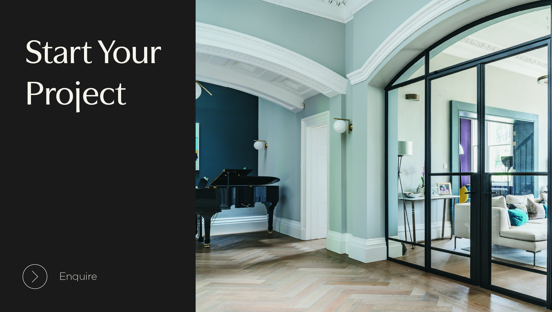
GET STARTED